What are natural areas resources?
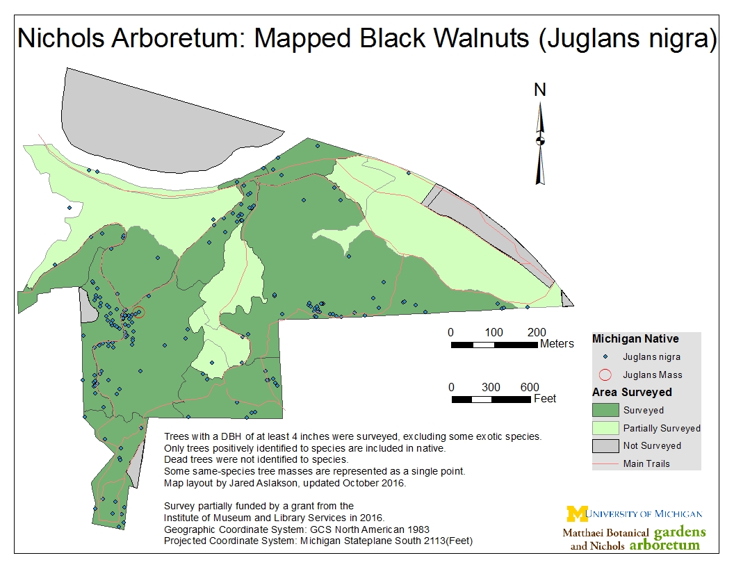
This webpage provides links to the Matthaei-Nichols GIS Hub, maps and reports and spatial data about the U of M Matthaei-Nichols Properties: Matthaei Botanical Gardens, Nichols Arboretum, Horner Woods/McLaughlin Tract, and Mud Lake Bog.
Purpose
The collection and sharing of this information was made possible by a grant from the Institute of Museum and Library Services (IMLS): Assessing Globally-ranked At-risk Native Plant Communities: a General Conservation Survey of High-quality Natural Areas of the University of Michigan Matthaei Botanical Gardens and Nichols Arboretum.
Background
The University of Michigan, Matthaei Botanical Gardens and Nichols Arboretum received $126,091 from the IMLS in June, 2011 to identify, survey and assess the plants and natural communities found on our four properties.
The natural communities and their native plants have now been surveyed, mapped and assessed for floristic quality, providing a baseline of information for prioritized stewardship and monitoring.
With this information we will also create a set of natural area stewardship recommendations:
- Long-term conservation strategies and stewardship plans for natural communities and native plant populations found on our properties which are listed and/or of high conservation value
- Direct future research and teaching by students and faculty at the University of Michigan and other colleges and universities in the region while minimizing negative impacts